Most active
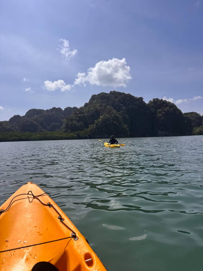
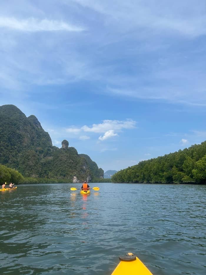
Paddle at Ao Thalane
Guided kayak
- Length4.5 hours
- PickupIncluded
- EffortModerate fitness
Explore the stops
Map of 34 stops
Choose a route and tap a pin or stop to see its note and open it in Google Maps.
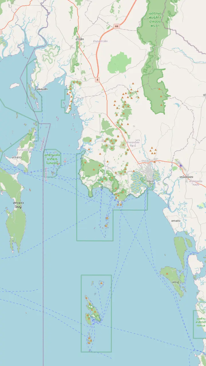
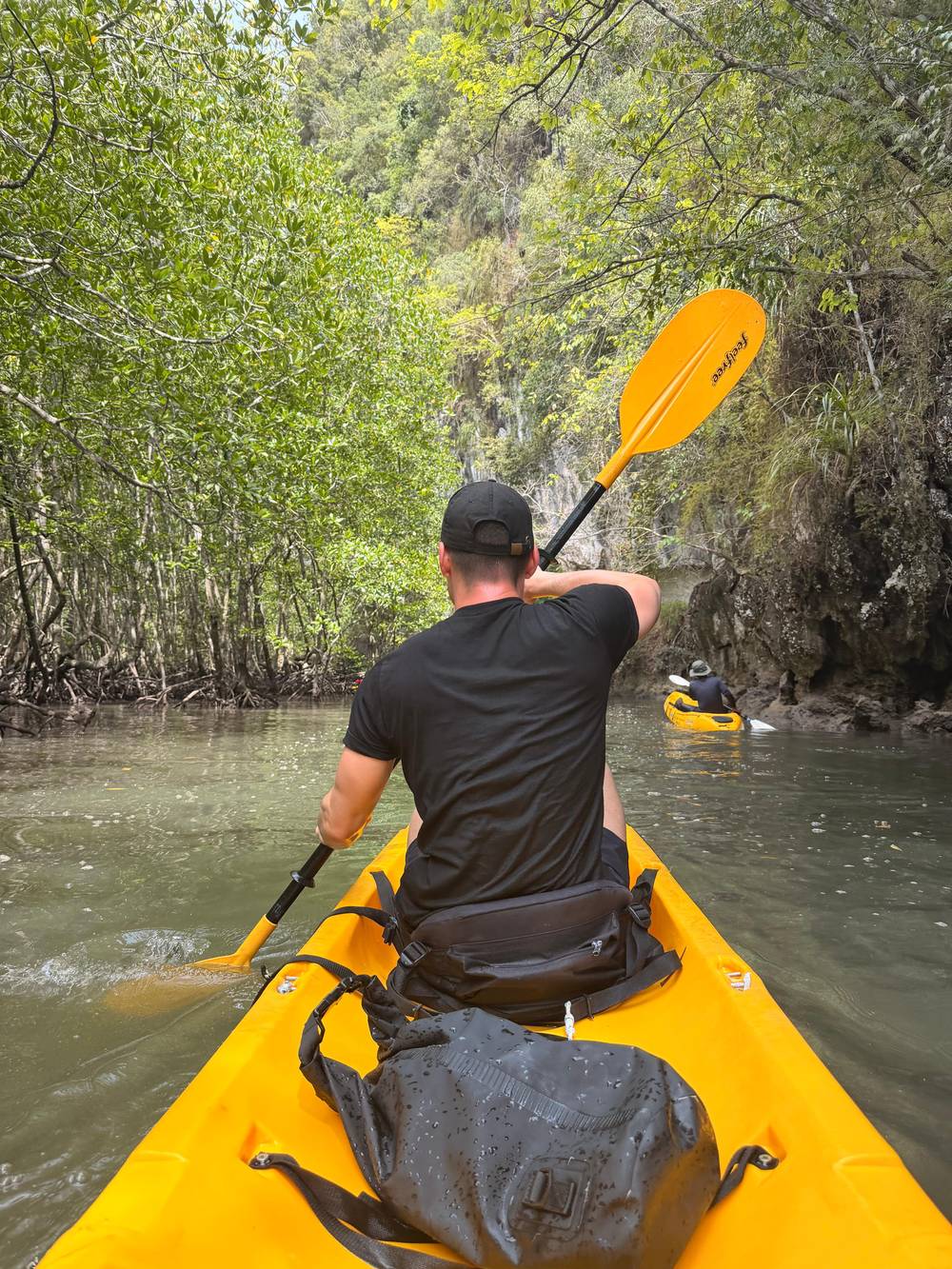
The bay where the kayak tours paddle in the mangroves, north of Ao Nang on the Krabi mainland.
Google MapsAnother mangrove creek near Ao Thalane, which the ATV and kayak listing paddles after the bay.
Google MapsThe national park that covers the islands and limestone of this coast.
Google MapsA cave in the limestone peaks on the Krabi River, visited on a longtail boat tour that crosses a mangrove tunnel.
Google MapsThe pier in Krabi town where longtail boats leave for the Krabi River tour.
Google MapsThe Krabi Estuary Ramsar site, a wetland of mangroves and mudflats at the mouth of the Krabi River.
Google MapsThe beach town most visitors use as their base, served by public transport.
Google Maps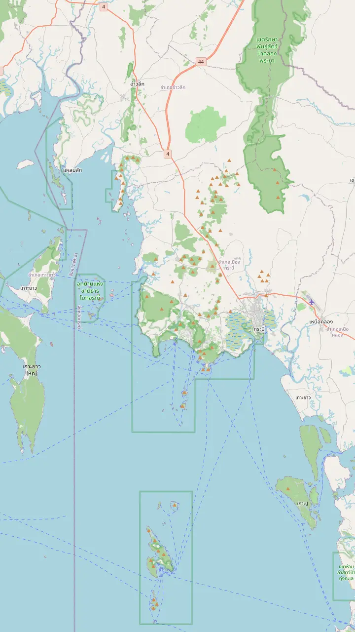
The bay where the kayak tours paddle in the mangroves, north of Ao Nang on the Krabi mainland.
Google MapsAnother mangrove creek near Ao Thalane, which the ATV and kayak listing paddles after the bay.
Google MapsA freshwater kayak spot with its own tours, inland from the coast.
Google MapsAn island inside Than Bok Khorani National Park that boat tours and the sea-kayak option reach from the coast.
Google MapsThe cliff-backed beach where the clear-kayak night tour starts.
Google MapsA cave in the limestone peaks on the Krabi River, visited on a longtail boat tour that crosses a mangrove tunnel.
Google MapsThe beach town most visitors use as their base, served by public transport.
Google MapsKrabi town on the Krabi River, one of the pickup areas the Ao Thalane listings name.
Google Maps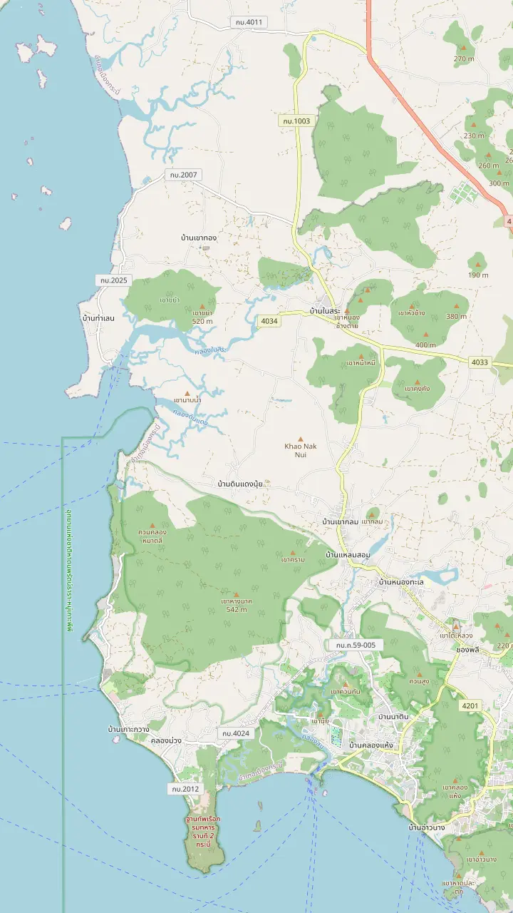
The bay where the kayak tours paddle in the mangroves, north of Ao Nang on the Krabi mainland.
Google MapsA small island just north of the Ao Thalane bay on the map.
Google MapsAnother mangrove creek near Ao Thalane, which the ATV and kayak listing paddles after the bay.
Google MapsA beach on the same stretch of coast as Ao Thalane, handy for placing the bay on the map.
Google MapsA village near the head of the bay, named as a pickup and drop-off point in a half-day listing.
Google Maps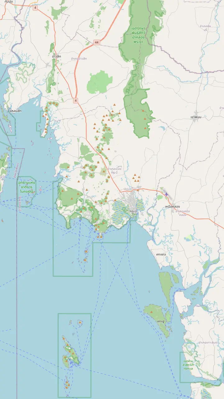
The airport for Krabi, east of Ao Nang on the map.
Google MapsKrabi town on the Krabi River, one of the pickup areas the Ao Thalane listings name.
Google MapsThe beach town most visitors use as their base, served by public transport.
Google MapsA pier on the Ao Nang side, named by the listings as the pickup point for guests staying at Railay.
Google MapsA pier at Nopparat Thara, the pickup point the listing names for a beach resort in the area.
Google MapsA beach north-west of Ao Nang that the half-day listing names as a pickup area.
Google MapsA village near the head of the bay, named as a pickup and drop-off point in a half-day listing.
Google MapsThe bay where the kayak tours paddle in the mangroves, north of Ao Nang on the Krabi mainland.
Google Maps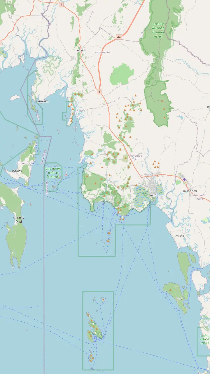
The bay where the kayak tours paddle in the mangroves, north of Ao Nang on the Krabi mainland.
Google MapsAnother mangrove creek near Ao Thalane, which the ATV and kayak listing paddles after the bay.
Google MapsA cave in the limestone peaks on the Krabi River, visited on a longtail boat tour that crosses a mangrove tunnel.
Google MapsA cave in the limestone at Railay, on the boat route of the Railay sunset tours.
Google MapsAn island inside Than Bok Khorani National Park that boat tours and the sea-kayak option reach from the coast.
Google MapsThe national park that covers the islands and limestone of this coast.
Google MapsBase map © OpenStreetMap contributors
A mangrove forest changes with the water. Learn what the trees do, how the tide decides your route, and which Krabi creeks and bays let you slide between the roots by kayak.
Editorial team, aothalanekayak.quest · Updated November 12, 2026 · Read in 7 min
Overview
Krabi mangrove kayaking makes more sense once you know what you are paddling through. Mangroves are salt-tolerant trees and shrubs that grow in the intertidal zone, the strip between land and sea, along tropical and subtropical coasts, in lagoons, estuaries, rivers and deltas.6 There are about 80 species of mangrove tree, and they only grow in warm latitudes because none of them can withstand freezing temperatures.1,2 The forests are not one species of tree but a family of related answers to the same problem: how to stand in salty mud.
That mud is the clue to the whole ecosystem. The trees take root where the soil holds little oxygen and slow-moving water lets fine sediment settle.7 Their roots do the engineering. Many mangrove forests are recognised by a dense tangle of prop roots that lift the trunks on stilts above the water, and the same roots slow the tidal flow so that more sediment drops out and the muddy bottom builds up.8,9 When your kayak glides past a wall of arching roots, you are looking at a machine that makes land.
The United Nations Food and Agriculture Organization estimates that mangroves cover about 14.8 million hectares worldwide, and rates mangrove forests among the ecosystems most at risk anywhere on Earth.10,11 That is worth holding in mind on the water. A guided paddle through a healthy creek is a rare chance to see the thing up close, and the better you understand it, the lighter you will tread.
Where to paddle
| Outing | Length | From | Group or pickup |
|---|---|---|---|
| Home tour at Ao Thalane | 4.5 hours | $36 | Pickup included |
| Half-day at Ao Thalane | 4.5 hours | $25 | Up to 10 guests |
| Mangrove kayak with pickup | 4 to 5 hours | $24 | Pickup included |
| Kayak with extras | 4 to 6 hours | $32 | Pickup included |
| Mangrove kayak with a meal | 2 hours | $30 | Up to 9 guests |
These are from prices and not exact quotes; each row follows its listing's own record.
A mangrove creek is never the same place from hour to hour. NOAA describes tides as slow waves pushed along by the moon and sun, with the vertical distance between high and low water known as the tidal range.12,13 Most mangroves get flooded at least twice per day, which the roots are built to handle.3 On Thailand's Andaman Sea coast, the Food and Agriculture Organization notes a semi-diurnal tide, meaning two high and low tides a day.14
For a kayaker this is the most practical fact in the guide. A half-day Ao Thalane listing puts the paddle at roughly 5 to 7 km and says the real distance follows the water level, so it suggests looking up that day's tide before you book a session. The sea-kayak and with-pickup listings say much the same about their programmes, which they shift to suit tide and weather. None of that is a flaw. It is the forest behaving as it should, and a good guide reads the water and picks the channels that are open.
What does that mean for you in practice? Ask your operator which tide window your departure falls in, and keep your expectations flexible. Narrow side channels that float a kayak easily on a high tide can be a muddy bank when the water is low, and the open bay looks different at each stage. You do not need to plan around the tables yourself; simply book a session with a guide and accept that the route on the day may differ from the route in the brochure.
Traveller feedback
The number of traveller reviews on each listing's page.
Krabi is a natural home for mangrove paddling. The Tourism Authority of Thailand paints the province as limestone cliffs, turquoise sea and mangrove channels beside small fishing villages.18 Among its Krabi activities, the Authority lists paddling through the Ao Thalane mangroves.19 The bay sits north of the beach town of Ao Nang on the mainland, and the half-day listing offers pickup from Ao Nang, Krabi town and Klong Muang.
A well-documented stretch of Krabi mangrove is the Krabi Estuary, a Ramsar wetland listed on 5 July 2001 that covers 21,299 hectares.20 The Ramsar record describes sand beach, mangroves and mudflats, with intertidal flats reaching up to 2km offshore at low tide, and counts 221 bird species in the mangrove areas.4,21 It also notes that water quality had suffered from nearby community growth and the rapid rise of tourism around Krabi city, a reminder that this forest sits right next to a busy place.22
Inland from the sea, Than Bok Khorani National Park protects further mangrove swamp forest in the muddy soil along the shore and the estuaries of large rivers, including at Ao Nam, Laem Sak and Ba Kan Canal.23 A Thai forestry survey that used satellite images from 1973 found about 80% of the country's mangroves on the Andaman coastline, with Phang Nga province holding the largest single area.24,25 That count is old, so treat it as a sense of the pattern rather than today's map.
Pick your paddle
Match what you want from the forest to the outing that gives it.
If I want the classic Krabi mangrove kayak
Home tour at Ao Thalane
It lasts 4.5 hours with pickup included.
If I only have a half day
Half-day at Ao Thalane
Groups are capped at 10 guests.
If I would rather not paddle all the way
A guide-assisted seat
It is a paid add-on on the home listing.
If I want kayaking plus a mangrove canyon
ATV and kayak day
It adds 30 minutes in Din Daeng Canyon.
If I want to learn from local guides
A community mangrove tour
Ban Thung Yee Peng tours include lessons on coastal ecology.15
If I prefer a boat to a kayak
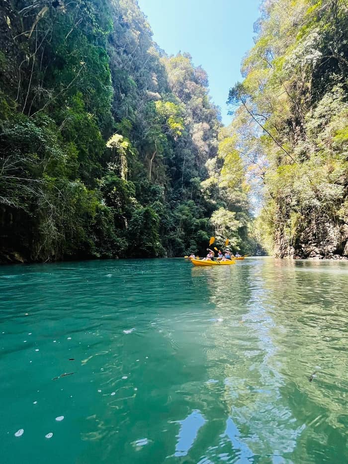
Longtail on the Krabi River
The tour crosses a mangrove tunnel.16
Ways in
Most active
Guided kayak
Local guides
Ban Thung Yee Peng
No paddling
Krabi River
The headline option for Ao Thalane mangrove kayaking is this site's own trip, a 4.5 hour paddle that comes with transfers, an English-speaking instructor and refunds in full if you cancel at least 24 hours beforehand; it is from $36 and has 2,297 reviews averaging 4.5. The highlights it lists run from mangroves to canyons and caves, and it advises moderate fitness, with a guide-assisted seat available for a small fee if you would rather not do all the paddling yourself. For many readers, that single listing is the whole answer.
For just a morning or an afternoon, the half-day Ao Thalane listing keeps groups to 10 guests and runs 4.5 hours from $25. The mangrove kayak with pickup runs 4 to 5 hours, from $24, and states that it suits all fitness levels. A busier variant adds extras such as swimming, a massage or ATV riding and counts 3 hours of kayaking from the viewpoint, from $32. Compare the pickup areas and the group size before you choose.
The same creek system has a neighbour in Din Daeng Canyon, which an ATV and kayak day adds to its route; that listing needs no previous kayaking experience. Away from the bay, the Authority's Krabi Prototype highlights Ban Thung Yee Peng, where community members lead mangrove tours that pair easy paddling with talks on coastal ecology and how the forest stores carbon.15 And if you prefer a boat, a longtail boat tour from Chao Fah Pier crosses a mangrove tunnel on the Krabi River.27,16
Price the paddle
Set the number of kayakers and see the main Ao Thalane trips side by side.
Compare 3 side by side
Set the number of kayakers and see the main Ao Thalane trips side by side.
≈
View≈
View≈
ViewStarting prices from GetYourGuide, converted at the ECB reference rate. You will see the exact price when booking.
A day in the roots
Pickup
The extras listing counts a car ride of 1 hour.
Pier
A short briefing of 15 minutes at the pier.
Channels
The extras listing counts 3 hours of kayaking.
Tide check
Programmes shift with tide and weather.
Back at the pier
A further 30 minutes of kayaking follows.
Return
The home tour includes pickup, so you are collected and returned.
A mangrove is a nursery. The Food and Agriculture Organization describes mangroves as homes, breeding sites and nurseries for fish, crustaceans and molluscs, and says the leaf litter they shed feeds crabs, clams, oysters and other shellfish as well as bony fish.31,32 The United States' ocean agency adds that the tangled roots draw fish and other small creatures looking for a meal or a place to hide.17 Under your kayak, in other words, there is more going on than you can see.
Above the waterline it is the birds and monkeys that give the paddle its character, and the Ao Thalane listings are specific about who to look out for. The estuary's bird tally in the Ramsar record, mentioned earlier, hints at how busy the canopy can be.21 The page on caves and wildlife goes deeper into who lives here.
Remember that a sighting is never promised. The wildlife keeps its own timetable and the tide moves it around. Be still, keep your paddle quiet when a bird is close, and let the guide do the pointing. The forest also does a job for people: mangroves stabilise the coastline and reduce erosion from storm surges, currents, waves and tides.33 A calm creek is a working piece of coastal defence as well as a pretty place.
Video
Ravermonkeys Travel on YouTube · Video data is requested only when you tap play.
The intricate root system of mangroves also makes these forests attractive to fish and other organisms seeking food and shelter from predators
Before you go
Simple habits matter in a forest this delicate. Thailand bans disposable plastic items and foam boxes in all 155 national parks, with a maximum fine of up to 100,000 baht for bringing or using them, so pack a refillable bottle and your own bag.5,34 Thailand's 2025 reef rules also state that feeding fish, littering or disturbing reef habitat is not permitted; they are written for diving and snorkelling, but they show how seriously the country now takes marine habitats.35
On the water, follow your guide through the channels they pick. Keep your hands off the roots and branches, and stay in the kayak instead of stepping onto the mud banks unless you are told otherwise. Wear the life jacket you are handed; the Thai tourism authority advises a life jacket for all boat trips, on sea or river alike.30 Pack light: a towel, swimwear and sun protection cover most of what the listings ask for.
Last, pick the operator whose group size and guide suit you. A guide who knows these creeks moves through the forest slowly, spots what you would miss and keeps the group quiet. If a mangrove paddle is the thing you came to Krabi for, the site's home tour is the straightforward way to do it, and the pages on the route, the pier and the season fill in the rest of the plan.
FAQ
On Krabi's coast you glide through tidal creeks lined with salt-tolerant trees, usually with a guide who reads the tide.6
Yes. The route a half-day listing describes changes with the tide level, so how far you paddle varies from day to day.
Thailand's tourism authority lists mangrove kayaking at Ao Thalane among the things to do in Krabi.19
A 4.5 hour trip, with transfers included.
Moderate fitness is recommended, and a paid add-on seat shares the effort. Another listing needs no previous kayaking experience.
The Krabi Estuary is a Ramsar site, designated in 2001.20
Sources
Further reading
Heading to Ao Thalane? Ask a real person here.